Our trip down the Limestone Coast, which refers to the most easterly section of South Australia’s coastline, began in quite rainy and overcast weather. We crossed the Murray River at Wellington, by ferry, as described in the previous post on the Fleureiu Peninsula (pics at bottom of that post).
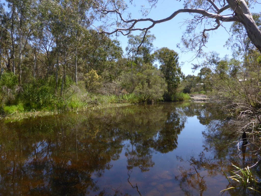
From Wellington, we took the coastal route down the Princes Hwy. We passed close by Lake Albert at the town of Meningie, a nice green town positioned right on the lake. Lake Albert and the nearby Alexandra Lake are huge, and in sunny weather conditions I suspect the lake and the township of Meningie would be really beautiful. However, it all looked rather grey in the rain….
It didn’t get much better. The coastline most of the way down to Kingston SE, was grey, boring uninteresting scrub, oh and smelly. Yes, in places it absolutely stunk, thanks to rotting seaweed lining the shore. If I’m not giving a very nice impression of that drive, would it help if I added that it was pouring rain, my throat and sinuses were aching, and my head throbbing? It certainly wasn’t the most enjoyable section of road of the holiday for me…..
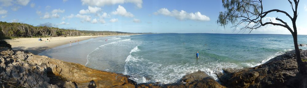
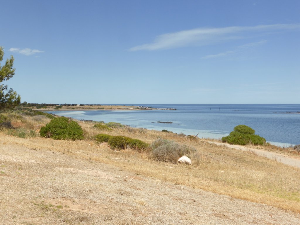
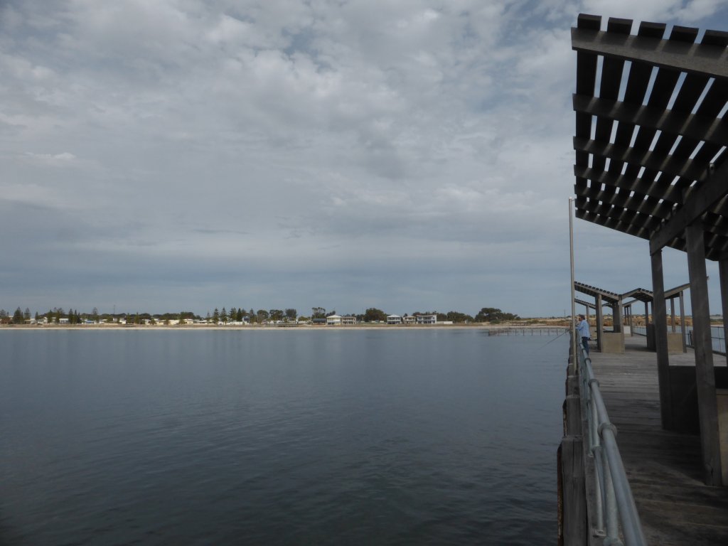
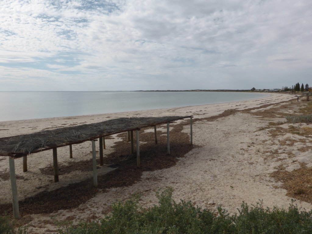
We stopped for the night at Kingston SE, at a free campground right near the foreshore. Another town that is keen to have people come and stay in the area! Kingston looked OK coming in, and nice the next day (Fri) – there was blue sky, and my aches and pains had subsided a bit (Thurs turned out to be the worst day)! Here are some views from the Jetty, and there are beaches just further south with no seaweed!

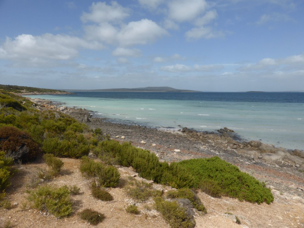
I guess the ‘seaweed coastline’ doesn’t sound as attractive? Wouldn’t be fair either, as there are nice sandy beaches just a little further south!

looking back to Kingston SE

out on the jetty, watching a dolphin
Naracoorte was our next destination, to see the World Heritage listed limestone caves just south of the town. We headed inland to get there, through the nice green countryside. The cave tours aren’t real cheap, but we ended doing a tour of the Wet Cave (self guided), and the Wonambi Fossil Centre display, that arvo. For Saturday morning we booked into the Victoria Fossil Cave tour (I think this must have been my main birthday present!), spending the night at the campground there at the NP.
The Victoria Fossil Cave tour was taken by an older guy who did a real good job. It is a huge cave – there are kilometres of it, but visitors only get to see a small portion. In this cave tour you get to see some nice/interesting limestone cave features – such as crystal stalactites and stalacmites, crystal slabs, crystal curtains (also called shawls, or bacon!). These are similar features to what we saw over at Yanchep NP, just north of Perth.
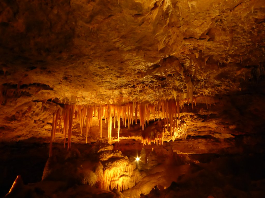
beautiful crystal features in the Victoria Fossil Cave