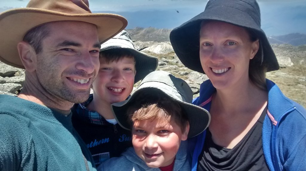
We made it – to the top of Australia! Here we are on Mt Kosciuszko’s peak, physically higher (more elevated?) than anybody else on Australian soil.

On top of Australia! (Mt Kosciuszko peak)
It was a tough, steep and dangerous climb up the side of this incredible mountain. OK OK, I’m exaggerating a little – it was actually an easy stroll up a wide boardwalk and a well formed path…. that doesn’t sound as impressive though! Anyway, I’m getting ahead of myself, as we had to get there first.
Tuesday morning we left our camp slightly north of Bombala, and headed west along the Snowy River Way. It’s not long before you can see a range with a long line of wind turbines along its ridge. Daniel counted around 70 of them, but that’s a rough count as you can’t see them all clearly or at the same time.
just a little north of Bombala

looking north at some of the wind turbines
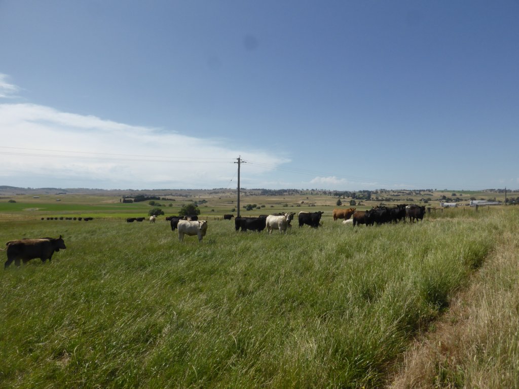
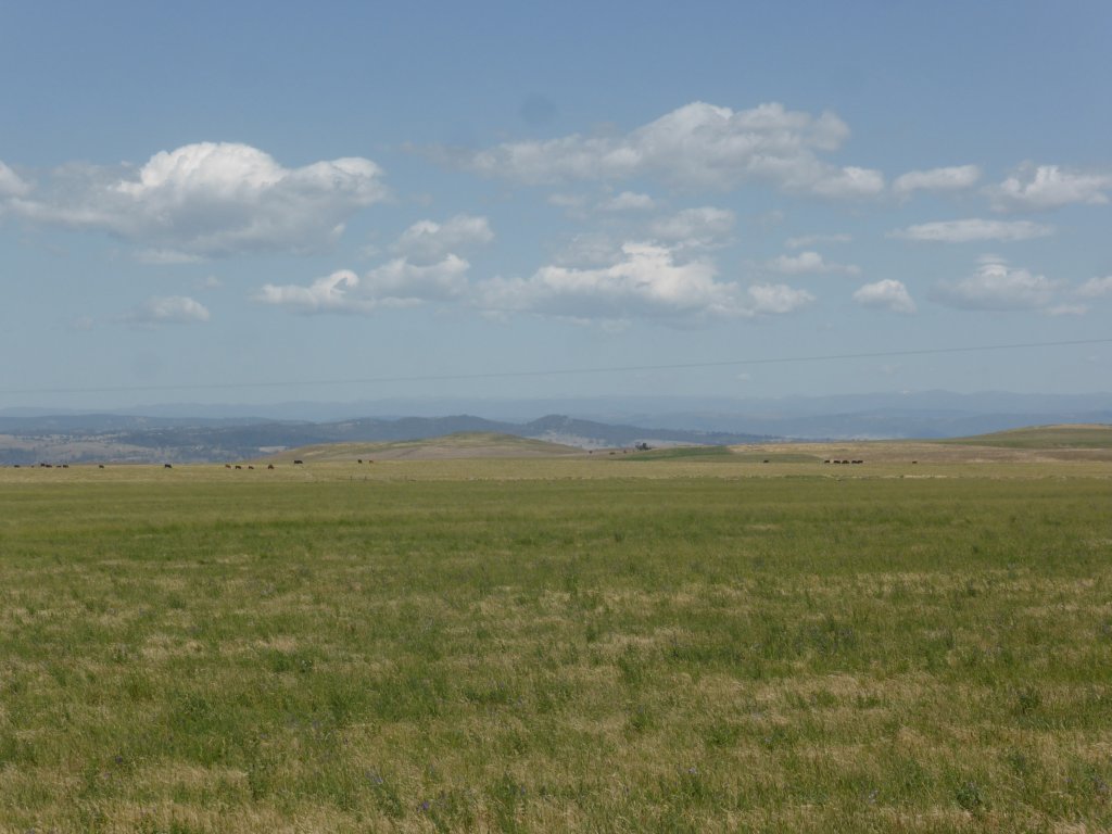
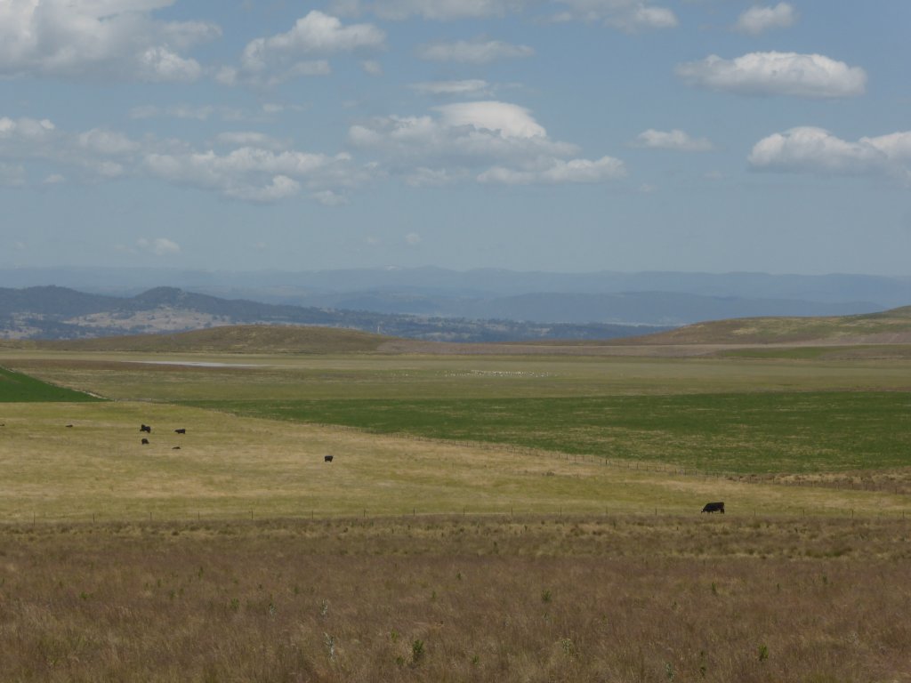
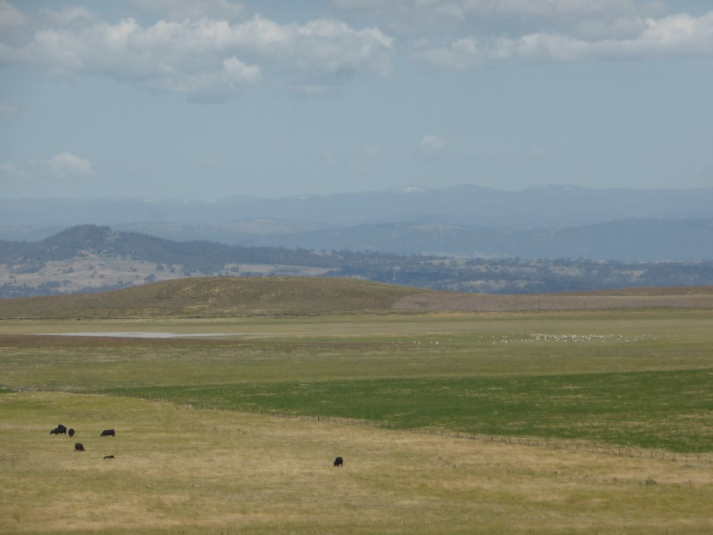
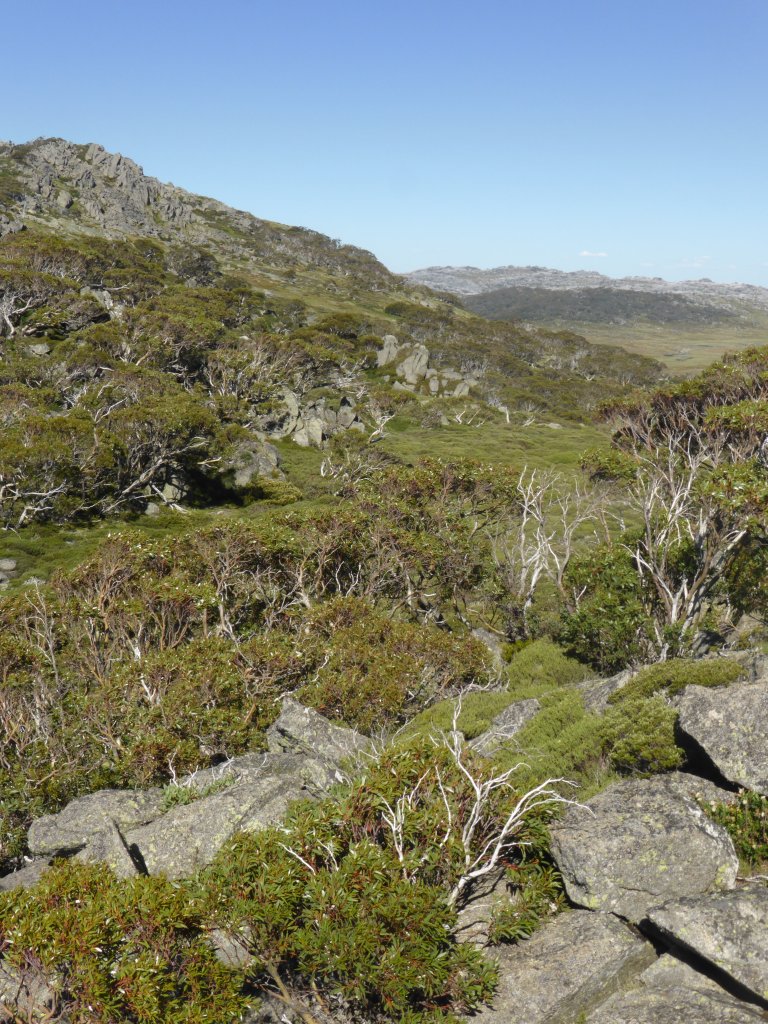
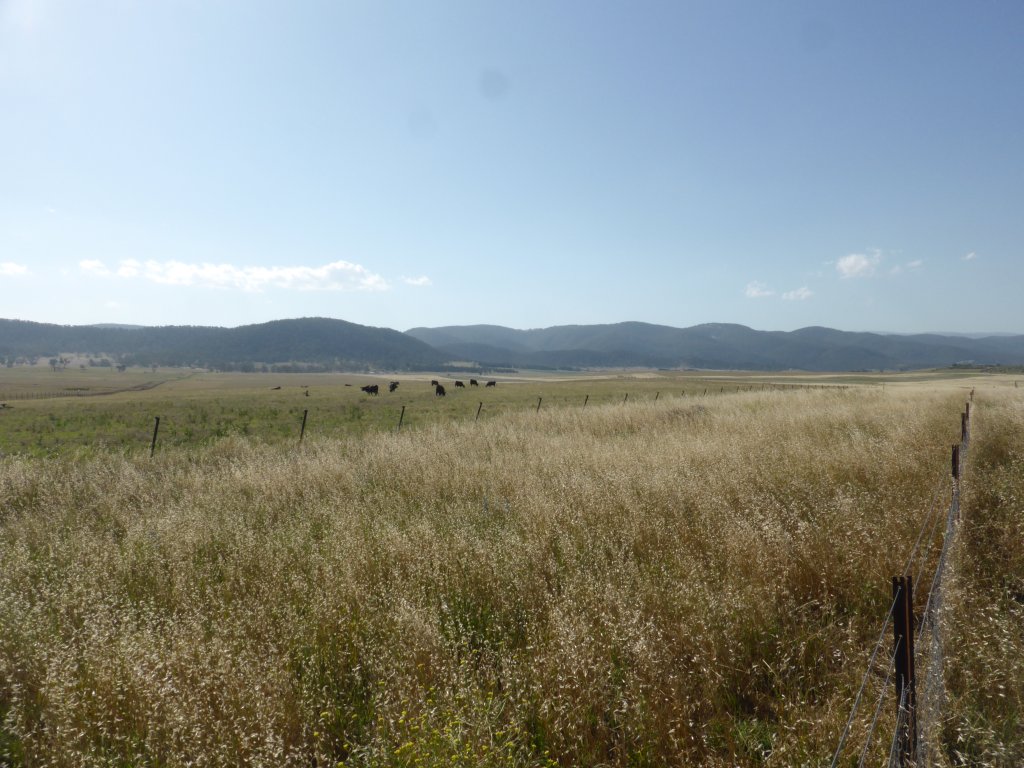
After crossing that ridge, it is clear that the NSW alpine area is rather different to the Victorian alps. In the below photos you can see right across the undulating plains to Mt Kosciuszko range in the distance (probably 60-80 kms), and we are already at a reasonably high elevation. In comparison, in Vic you don’t climb to these elevations till you are fairly close to the ski resorts.
looking over to Mt Kosciuszko Range in the distance
from a different point
yep, that’s snow on the peaks!

having driven closer
The tiny town of Dalgety is a lot closer to the range, and has some cute little homes with gorgeous views to the mountains. What a beautiful place to live! Looks enticing, but we’ve already tried the remote town living thing…
Closer in, Jindabyne is a nice little town that is clearly the hub for the mountain range and its skiing and outdoor activities.
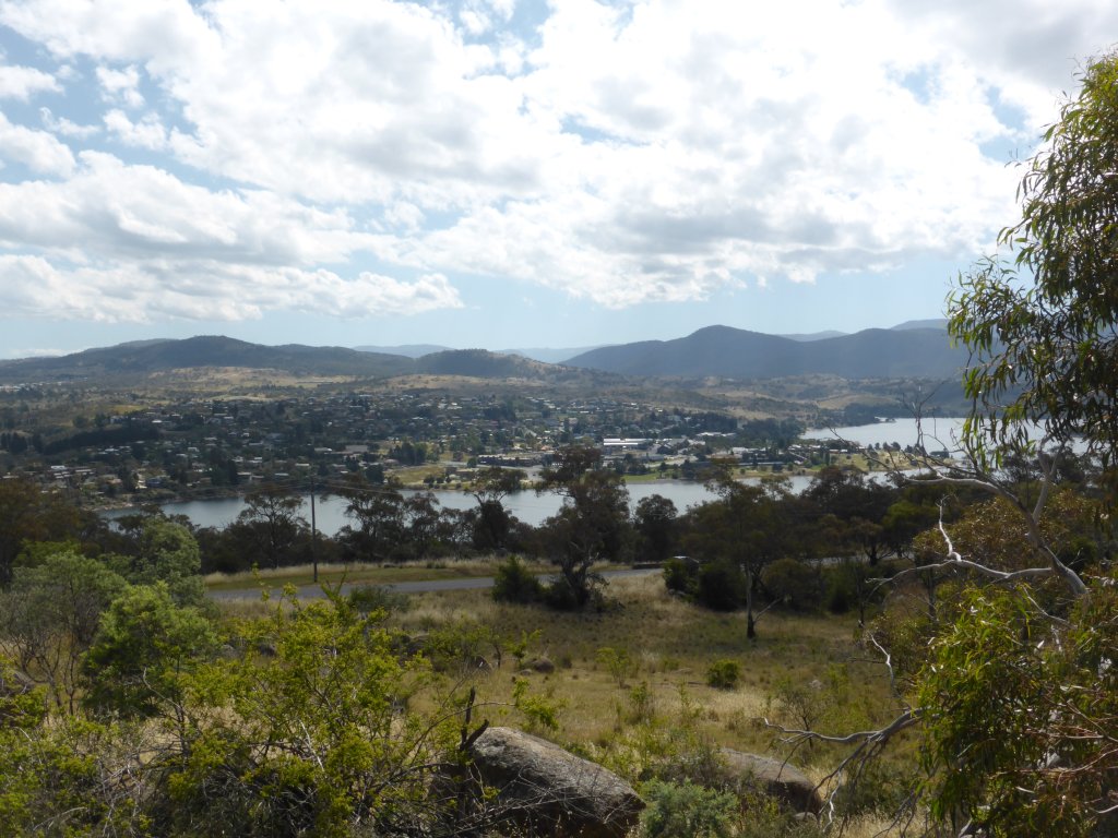
Looking over Lake Jindabyne to the town of Jindabyne
At the NP info centre, we learnt that there are actually 3 different routes to the top of Mt Kosciuszko! There is the route from Thredbo, where you typically take the Thredbo Kosciuszko Express chairlift up from the village, and then walk the remaining 13/14km’s to the peak and back. Then there are two routes from Charlottes Pass – one a 18km return walk along an access track, the other the Main Ridge walking track which is around 13-14km’s one way.
The Main Ridge track is the most scenic of them all, tracking along the highest ridge over a series of peaks almost as tall as Mt Kosciuszko itself. Making a loop by returning via the access track, it’d be around 21-22km’s all up. I was keen on doing this, but the boys not so!! I thought I had healthy active boys… It wasn’t just the distance though – the chairlift ride at Thredbo made that option look attractive to them.
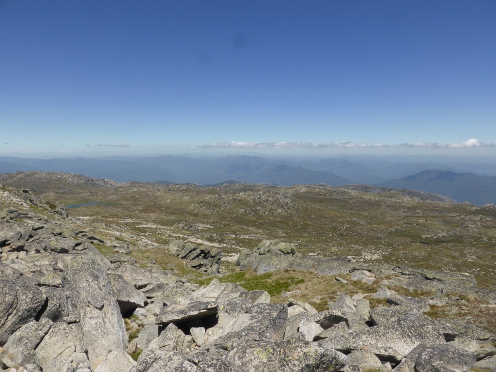
After lunch we decided to go out to Charlottes Pass and have a look. Its a pretty drive out that way; not that twisty and winding, but a nice easy drive up the valley past a few ski fields such as Perisher.

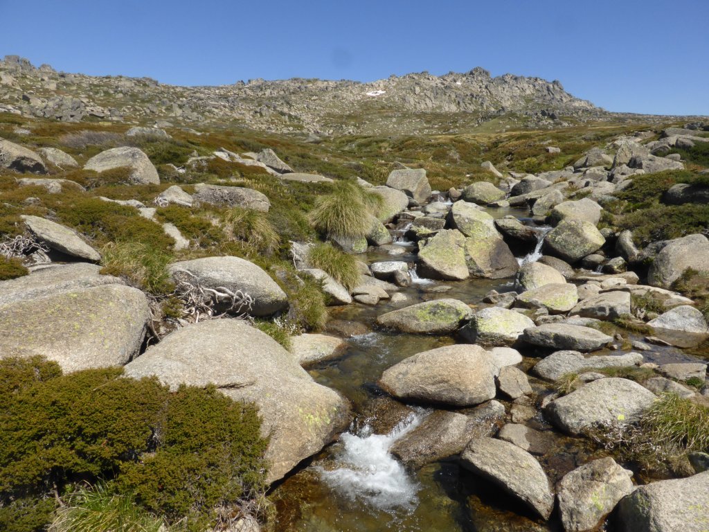
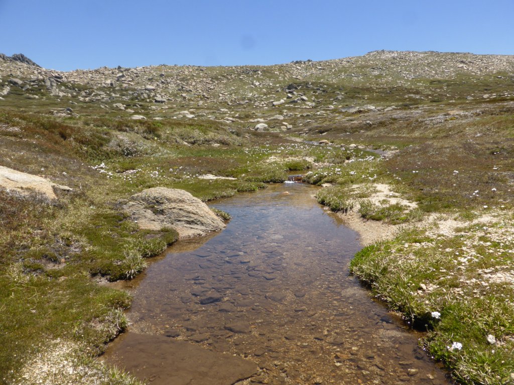
pretty mountain creeks. It’s cold water – melted snow!


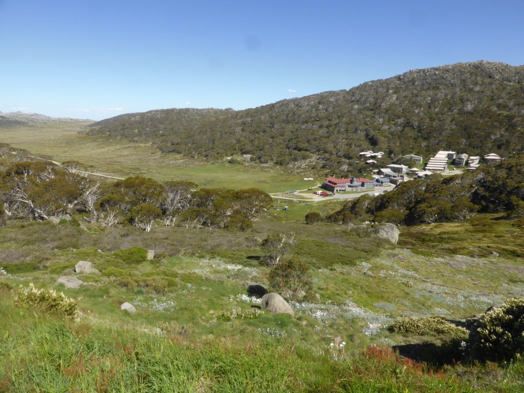
at Charlotte Pass, looking down on Charlotte Pass Ski Resort

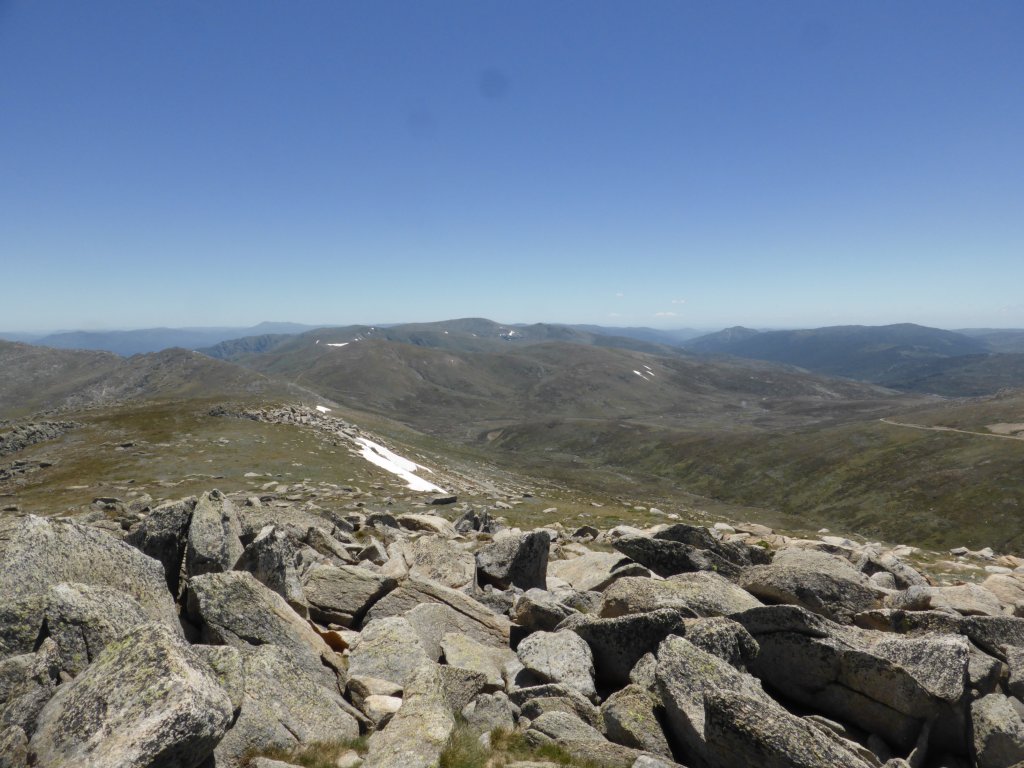
looking south west out over the peaks (including Mt Kosciuszko) along the Main Ridge
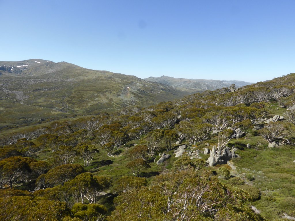
more north west looking
With the boys still not keen on doing the longer walks, I compromised on the 13km return climb to Mt Kosciuszko from Thredbo. We returned to Jindabyne (almost) to then head down the Alpine Way towards Thredbo. Along the road to Charlotte Pass is this Surge Tank for the snowy river scheme. It’s the only part of the whole system we got to see, but from the size and construction of the tank and the huge pipe feeding it, I began to get a feel for the size of this scheme!
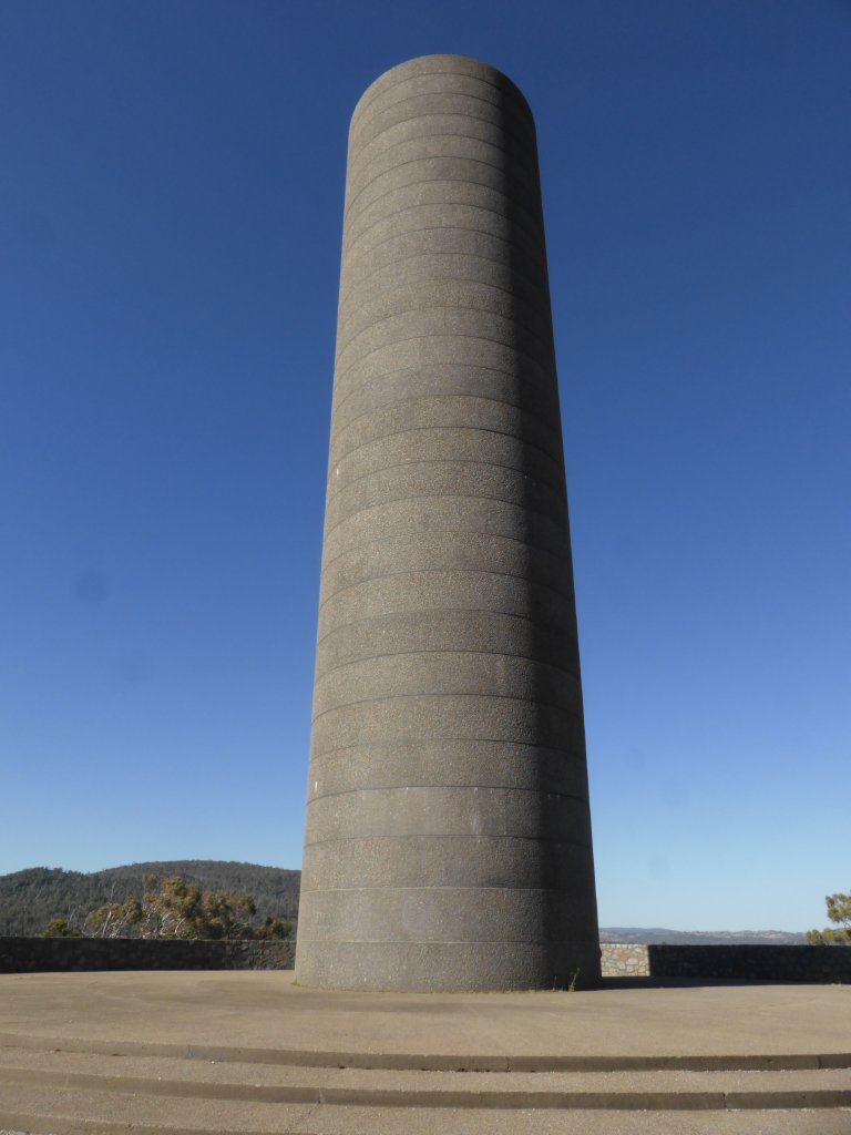
surge tank
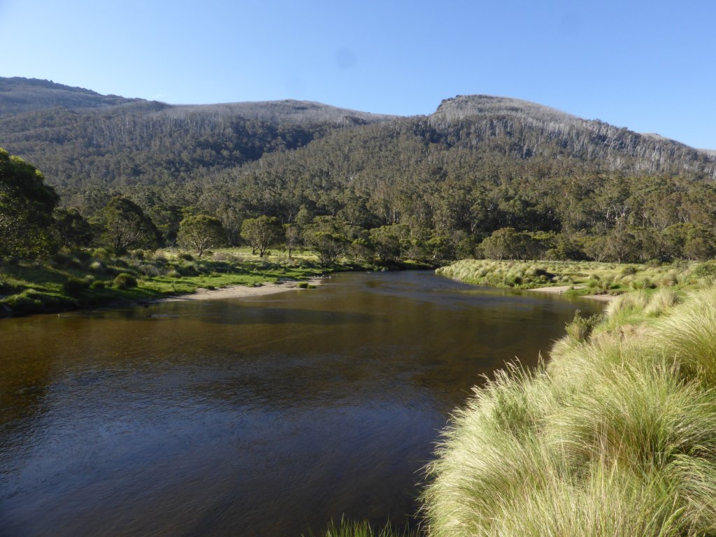
Tuesday was an incredibly windy day – the windiest I’ve driven the motorhome in. We stopped for the night at Thredbo Diggings campground, prior to the village/resort. Fortunately it is pretty sheltered down low in the valley, but we still got rocked around a bit that night. The campground is on/close to the river, which is very pretty. I noticed a number of mountain bike tracks from here, so after cooking dinner I pulled a bike off the rack to check out the singletrack along the river. It was great! Though on a dodgy bike (dusty and rusty!), the beautiful scenery more than made up for that.
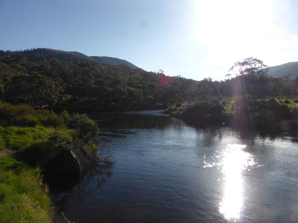
river by the campground

During the ride I also confirmed for the boys what the Ski Tube is (we’d seen signs to it). No, it isn’t a half pipe, full pipe, or anything like, but a train that goes through the mountain to Perisher….
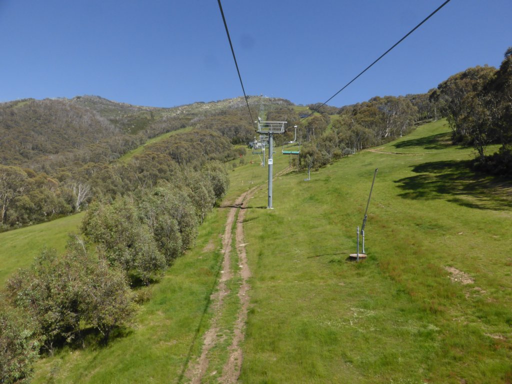
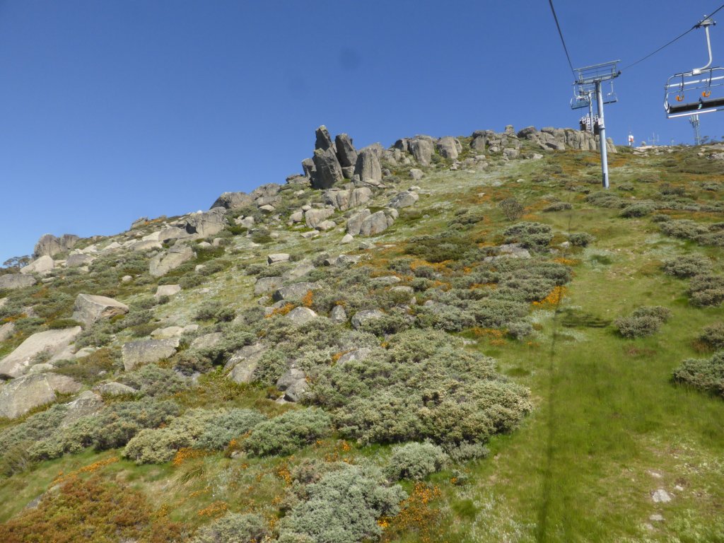
Wednesday was the big day! We travelled to Thredbo and purchased our chairlift tickets. We had lovely clear blue skies, and yesterdays wind had disappeared. It was a long ride up the Kosciuszko Express, saving us climbing some 500m in vertical elevation. The boys were pretty excited on their first chairlift ride.
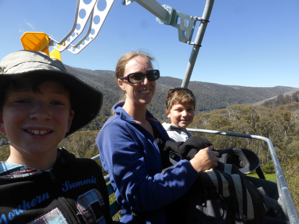
off we go!
looking up

almost there
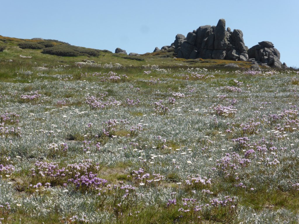
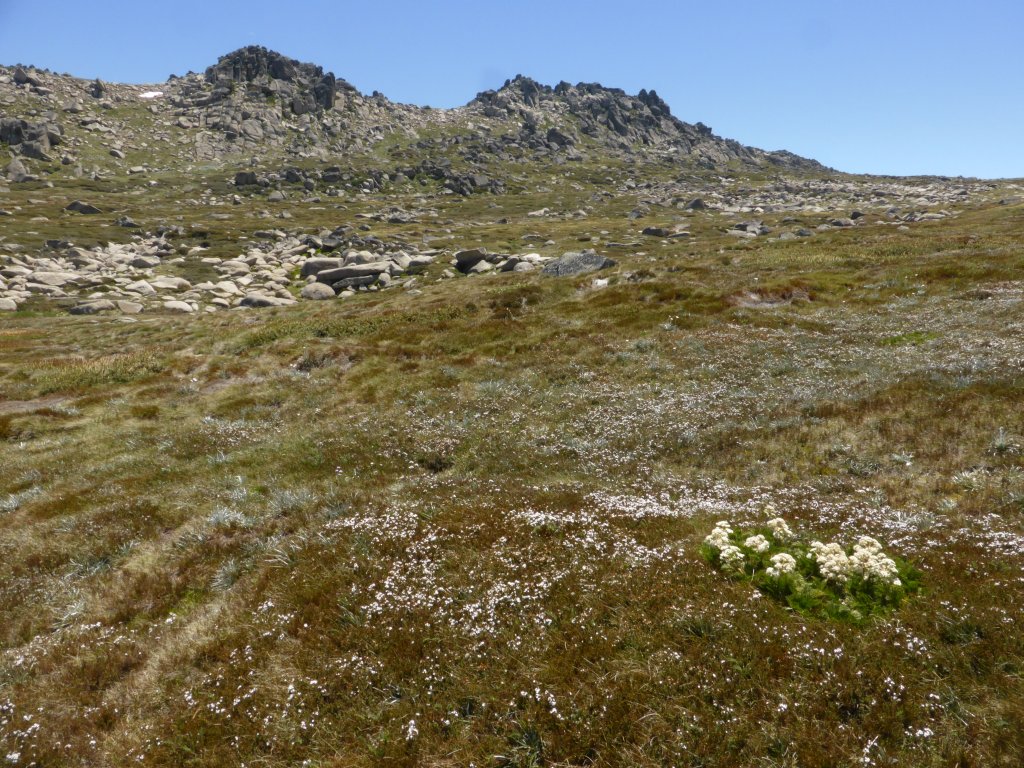
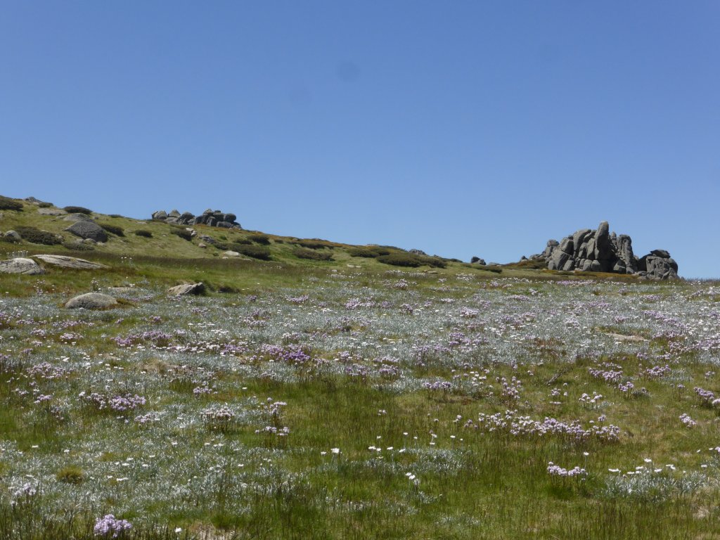
The 13km return walk starts following the chairlift, and the scenery is immediately beautiful. Not just the mountain views, but the alpine plants are in flower creating mats of colour spread out over the mountain side!
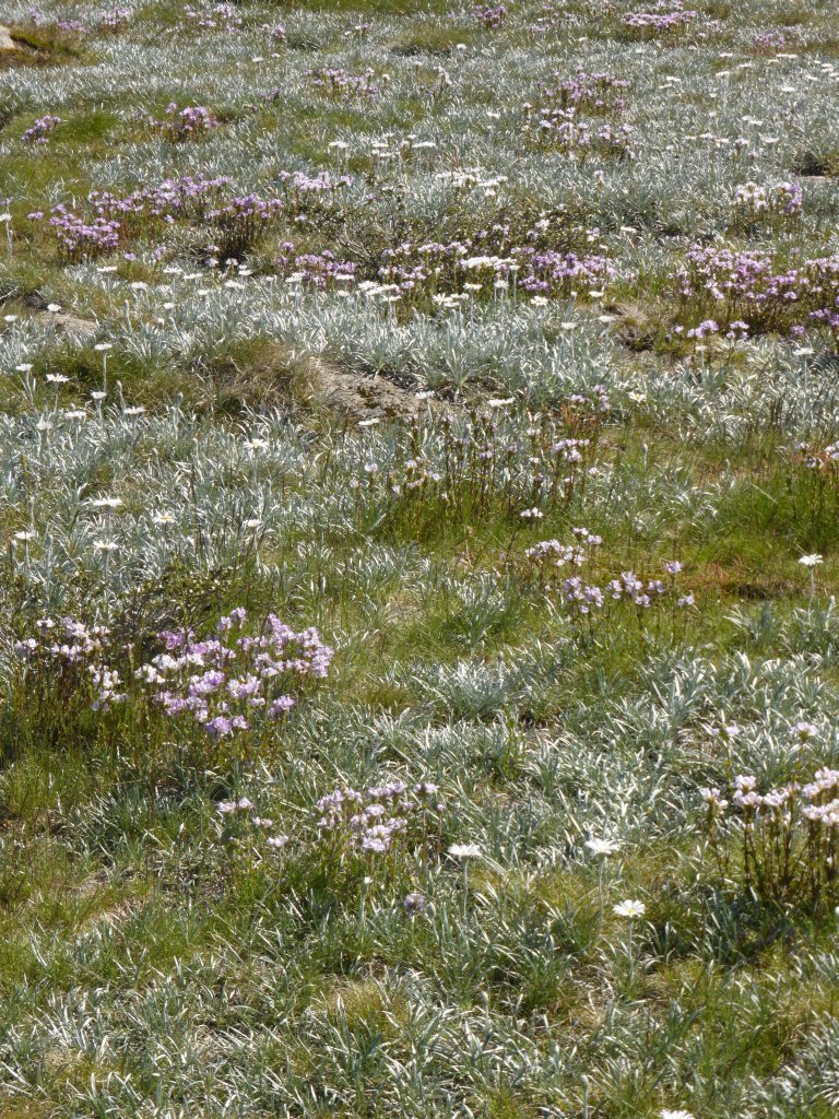
beautiful flowers (around 2000m altitude)

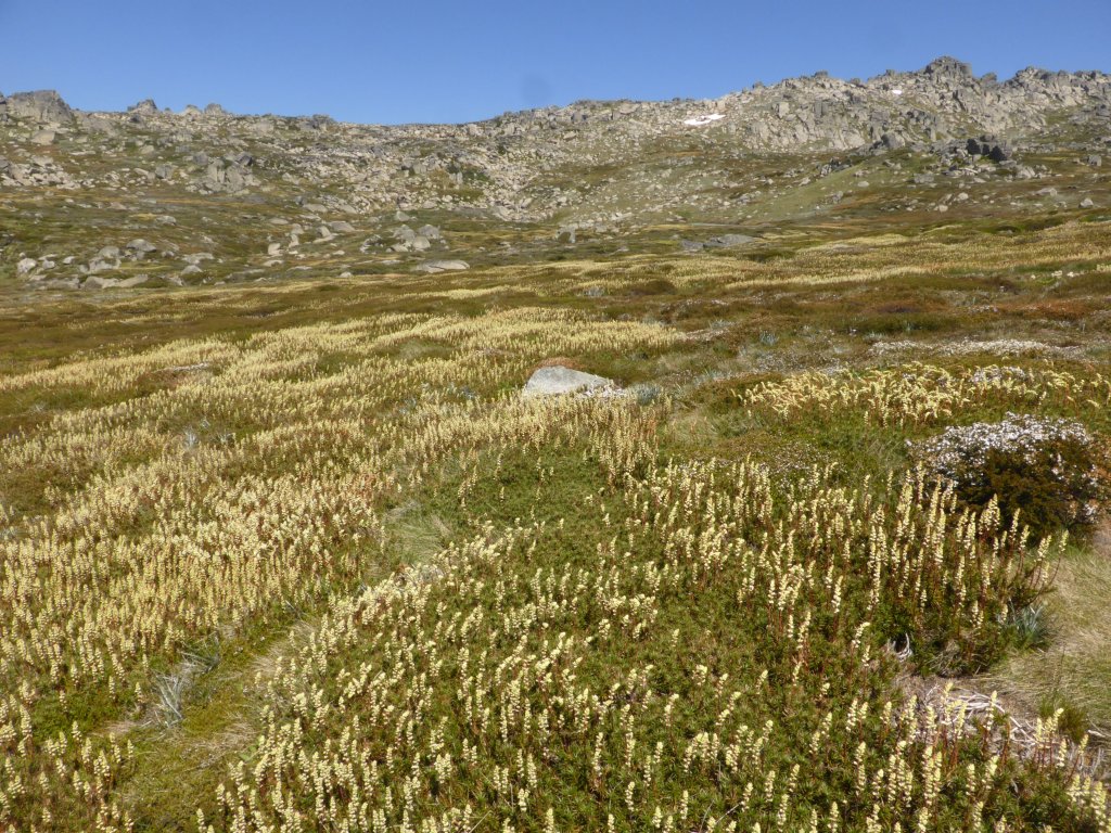
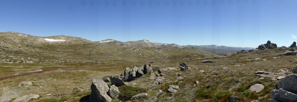
As you can see below, it is a very clear and easy path to follow! This is actually a raised boardwalk (made of steel). It may look like normal ground/grass around it, but we are walking over a delicate vegetative ‘bog’ that is around 20-30cm thick. Many of these plants are alpine specific and aren’t found anywhere else in the world! There is an almost constant trickle of water as you walk along, not just from the creeks, but from water slowly flowing through/under the bog as it makes its way to the creeks.
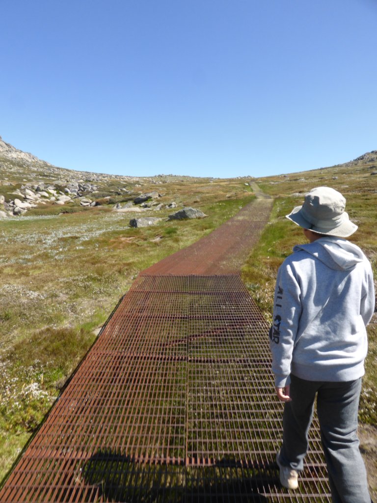
the boardwalk
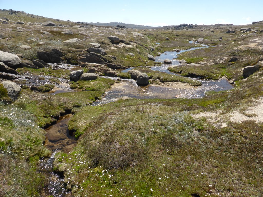
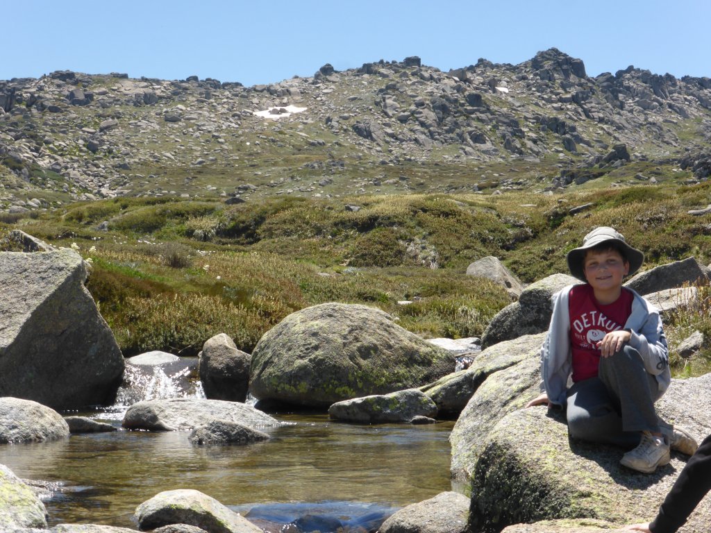
little creeks formed in the gullies
larger creek

having a rest
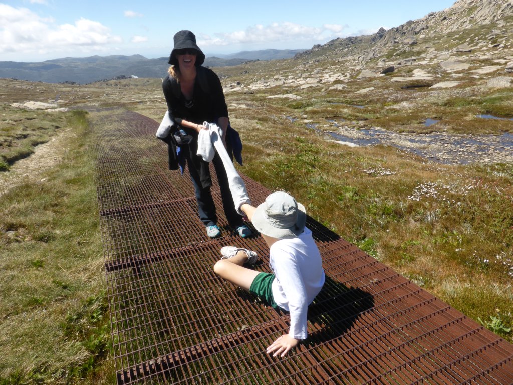
warmed up – tracky removal time. He needed mommy’s help….
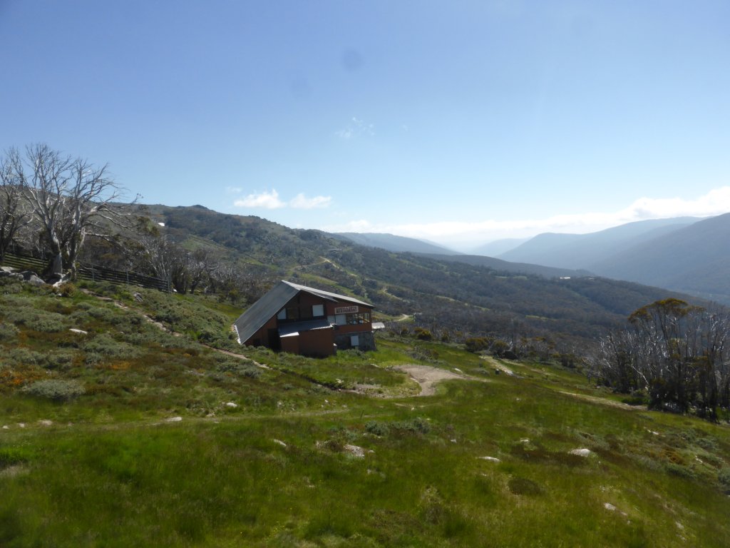
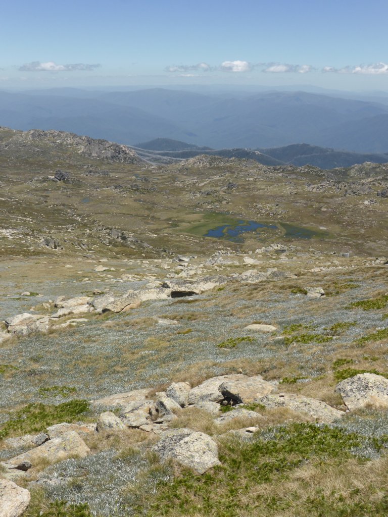
Further up the track, close to Rawson Pass, we see our first glacial lake (lake formed by glacial action yeons ago). The track also passes close to a snow drift, which Daniel had been desperately hoping would occur as he hasn’t touched snow before.
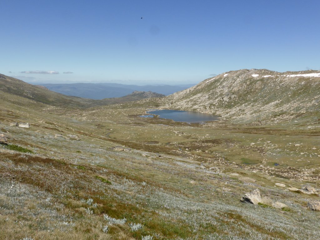
Lake Cootapatamba

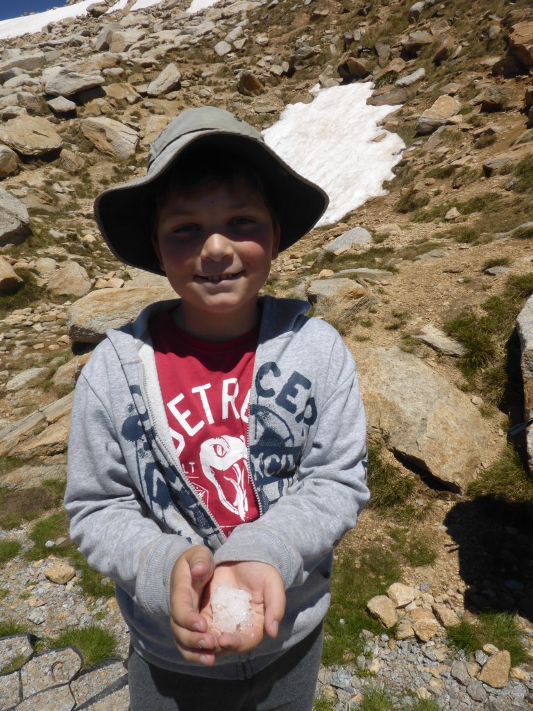
Daniels first bit of snow!!! Exciting even if it was a bit dirty and more like ice….

sharing his brothers enthusiasm
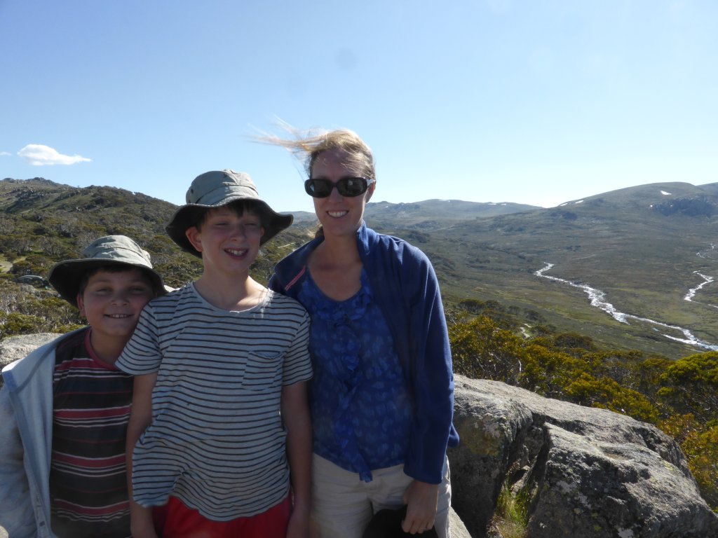
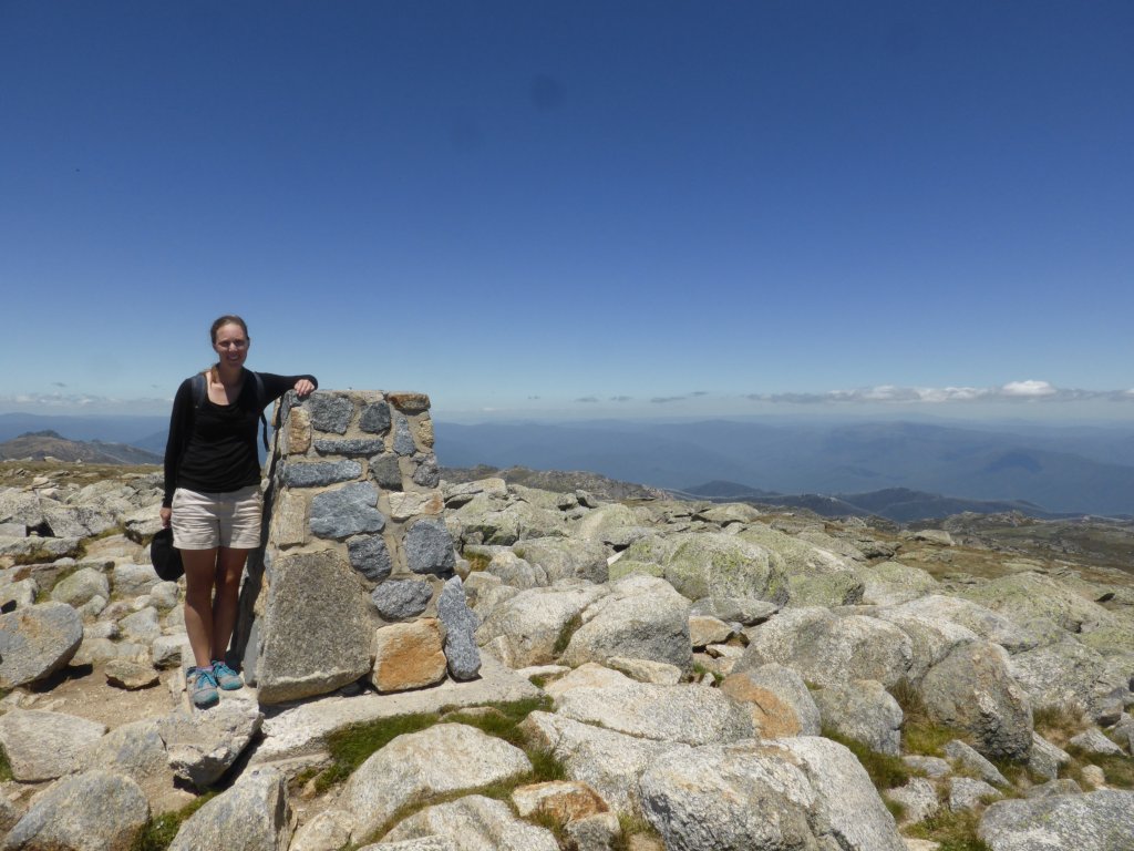
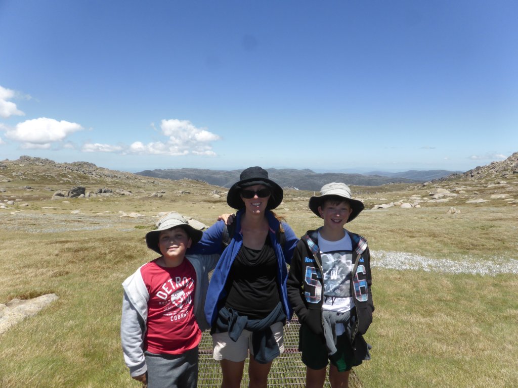
Finally, we make it to the summit! Turned out to be a much easier walk than we had all expected. Even passed some kids half my boys age doing it! Jonathan told me afterwards, that we could have done the longer ridge walk, if I’d ‘really wanted to’… The view we saw was great though. It might be a little mountain as far as international comparisons go (at 2228m), but it was still a great achievement to have been to the highest point in Australia! Not many of the boys friends can say they’ve done that!
Nicole at the summit of Mt Kosciuszko
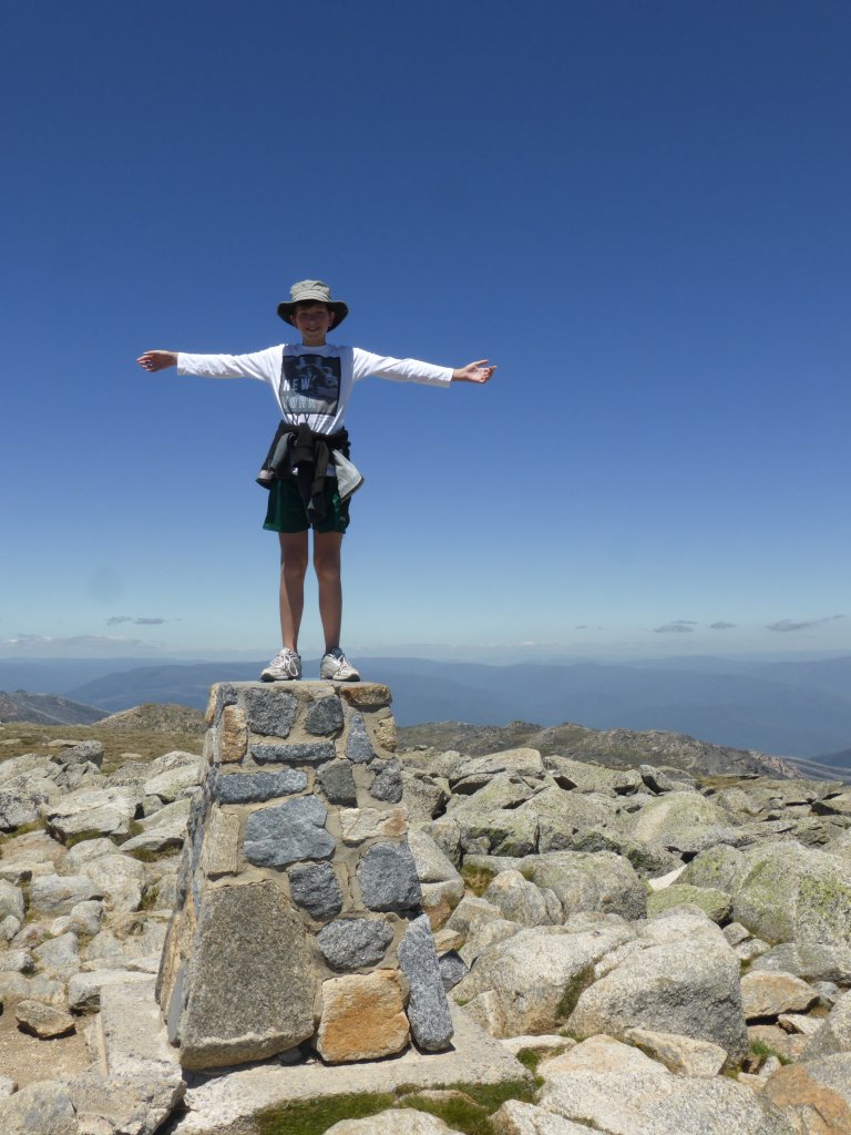
Jonathan at the summit of Mt Kosciuszko
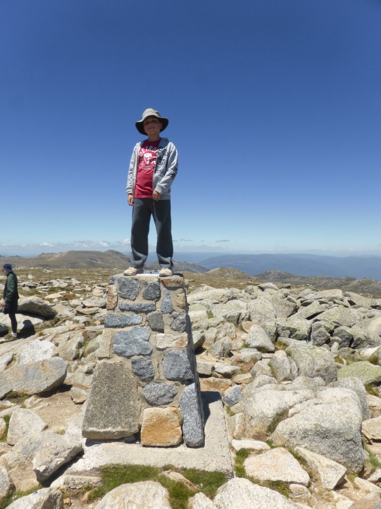
Daniel at the summit of Mt Kosciuszko
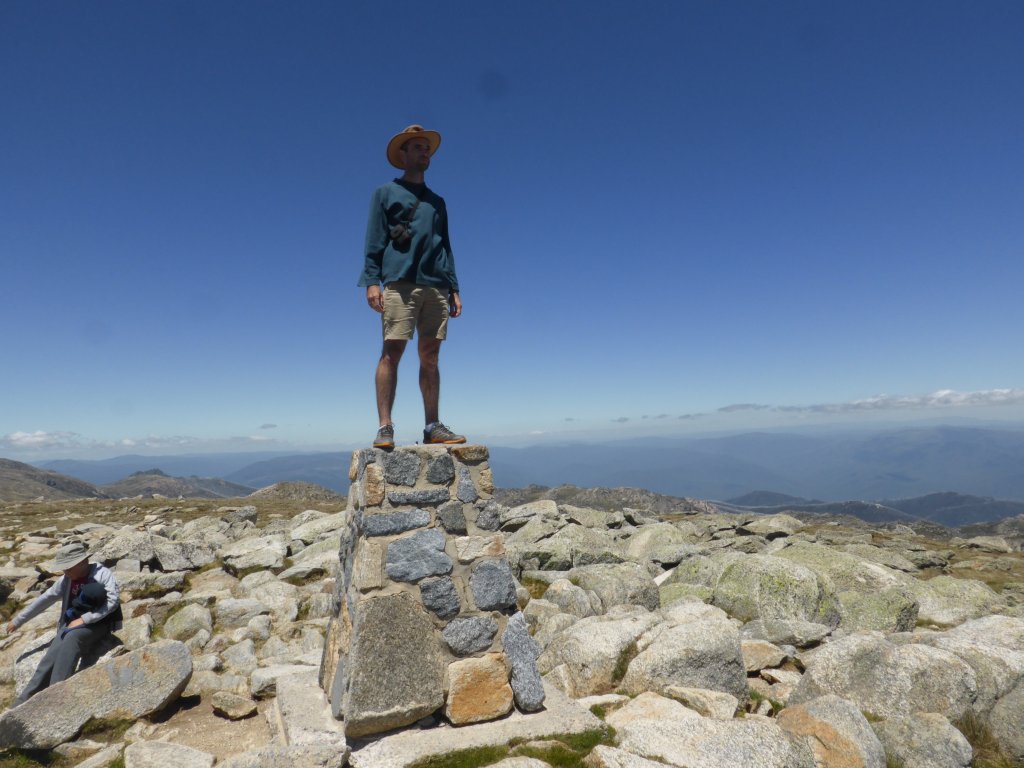
me at the summit of Mt Kosciuszko
Of course the views were beautiful too…


I think it’s worth showing a few more photos from the walk back down too!

I was stunned to see little fish in these tiny shallow creeks! Don’t know how they survive – the dry in summer and then freezing of the water in winter!

more flowers


Then it was a trip back down the chairlift. Well, two trips down actually, because the boys wanted to do an extra loop just for fun…. Oh well, not a bad thing given the beautiful scenery, as well as watching some downhill mountain bikers on tracks underneath us.

Looking down on Thredbo village
Time had run out for our short trip to the NSW Alps. Wed arvo, having accomplished our goal of climbing to the highest point in Australia, we headed off to Canberra.
We will have to return sometime to check out more of the area, such as seeing more of the Snowy River Scheme. The boys are also now keen to go skiing, and who knows, maybe next time I can get them to do the the Main Range route to the peak of Mt Kosciuszko – in winter in the snow! 😉
pretty scenery on the way to Canberra