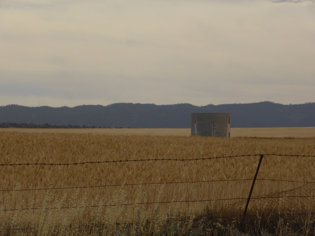
I’m beginning to get the impression that SA is mostly a big wheat farm! That might be a slight exaggeration though…..and an indication we haven’t seen enough of it yet!
We arrived at the Yorke Peninsuala Wed arvo (12/11/14) for a quick trip – leaving Fri for Adelaide. We began by heading across the top to Wallaroo, and down the west coast. There was something weird about the town of Wallaroo, and it didn’t take long to work out what it was. A high percentage of houses have these tall towers beside them, about 2 – 3 houses in height, with TV aerials at the top! I didn’t take any photos, but the gave the suburb a very industrial look!
We stopped Wed night in the town of Maitland, and didn’t leave till late Thurs morning. Not because it is an exciting place, nor did we have vehicle troubles, but we figured it would be a good location to sort out my drivers license stuff. No, I’m not loosing it or anything like that…. it is up for renewal at the end of November. Unfortunately my current one is from an older era, so they can’t just send a replacement. Instead I had to go through this rigmarole of printing and filling in forms, declarations as to why I wasn’t in QLD, get proper photos done, and then get it all witnessed and signed by a JP and send it all off with a money order to QLD! I originally planned on doing this in Adelaide, but walking down the main street of Maitland Thurs morning, we realised I could probably do it all here a lot easier – the township, and everything I needed, is within a 200m stretch of road! Ended up having to shop around a little for a JP, but found one without too much difficulty (council office). So that’s that task all done and dusted! Nicole wasn’t keen on doing all the driving back to QLD!!
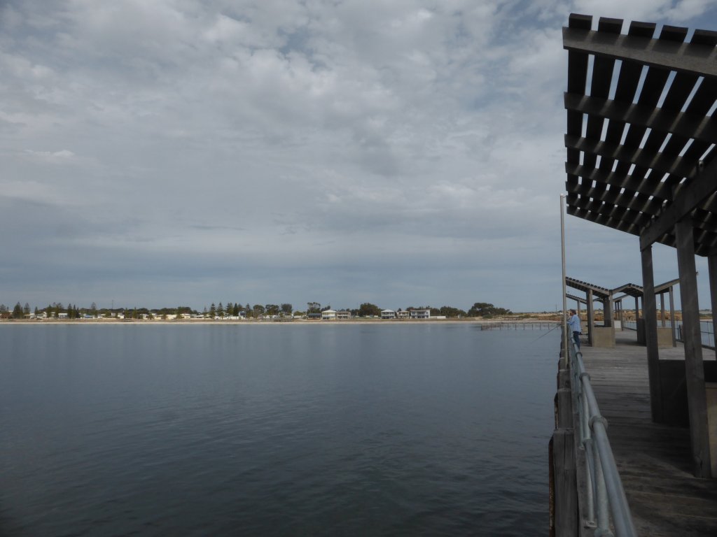
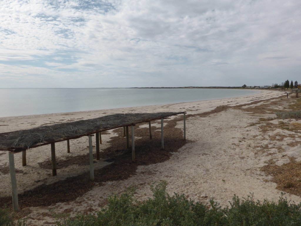
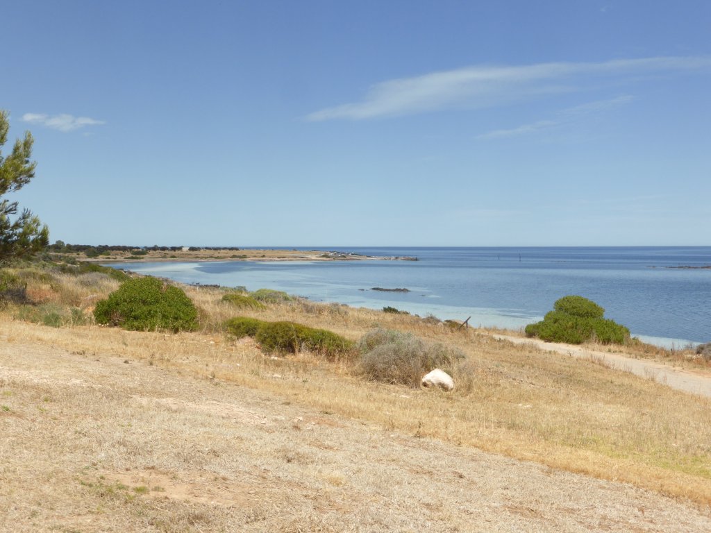
A quick stop and look at Port Victoria on the way down the west coast.

Port Victoria
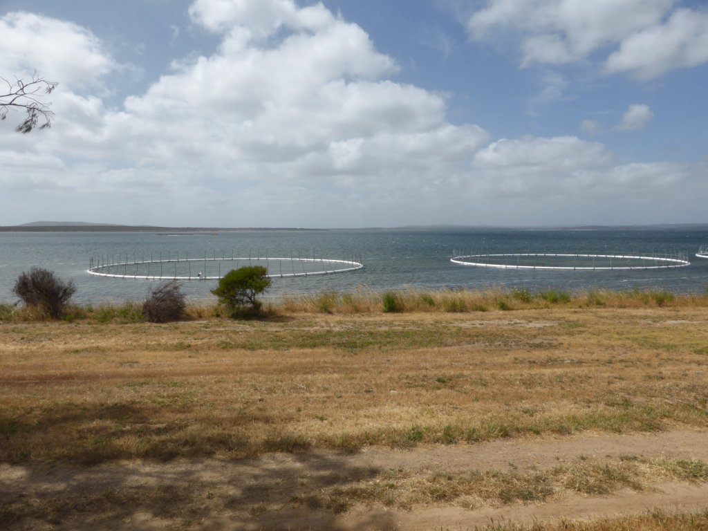
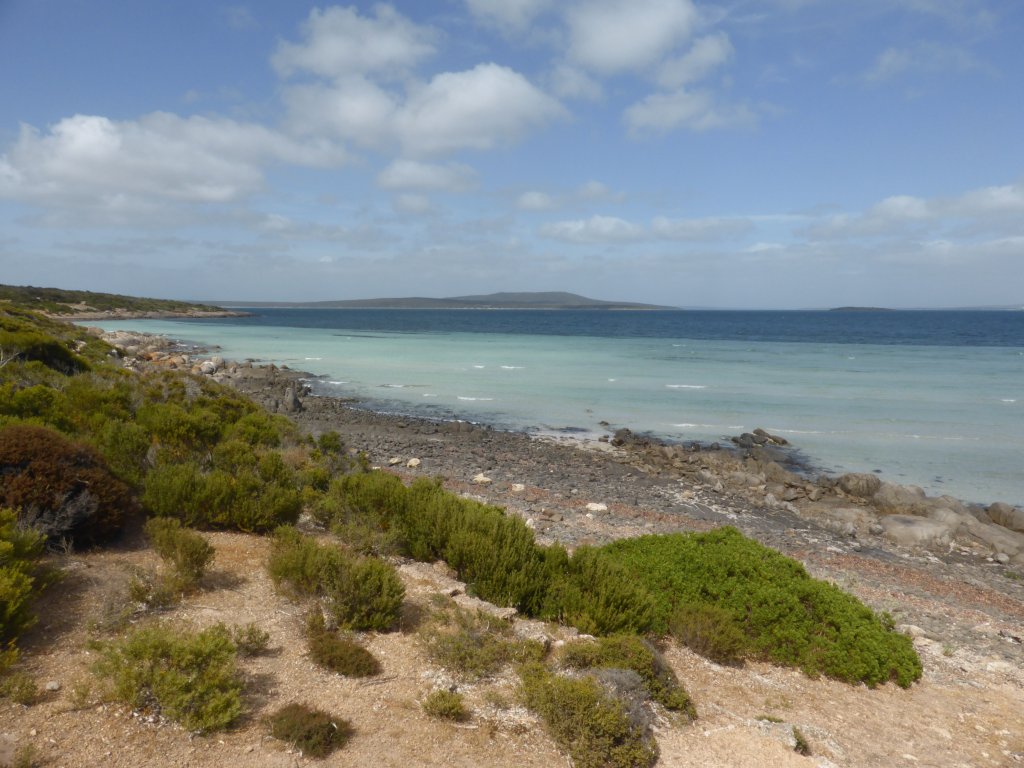
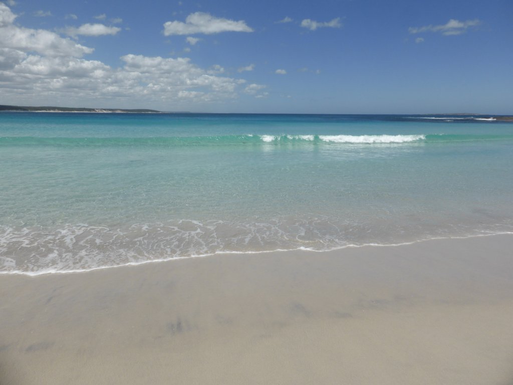
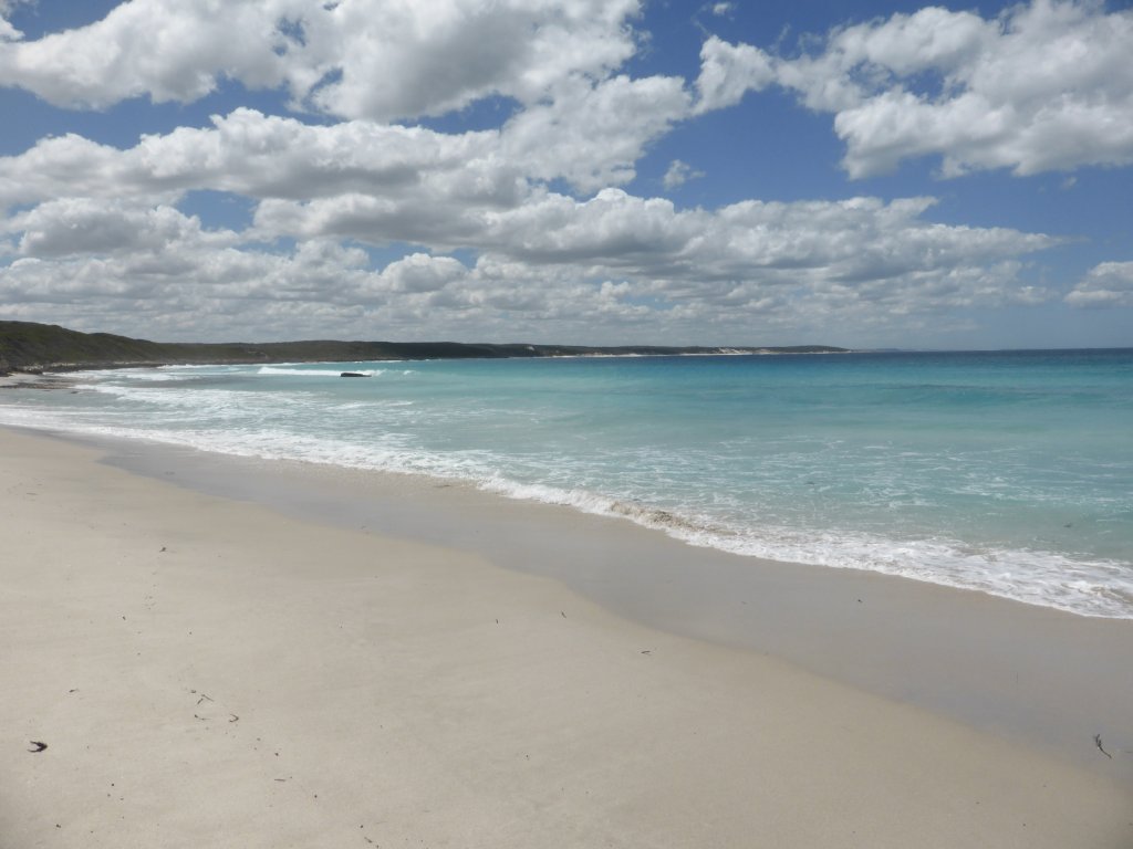
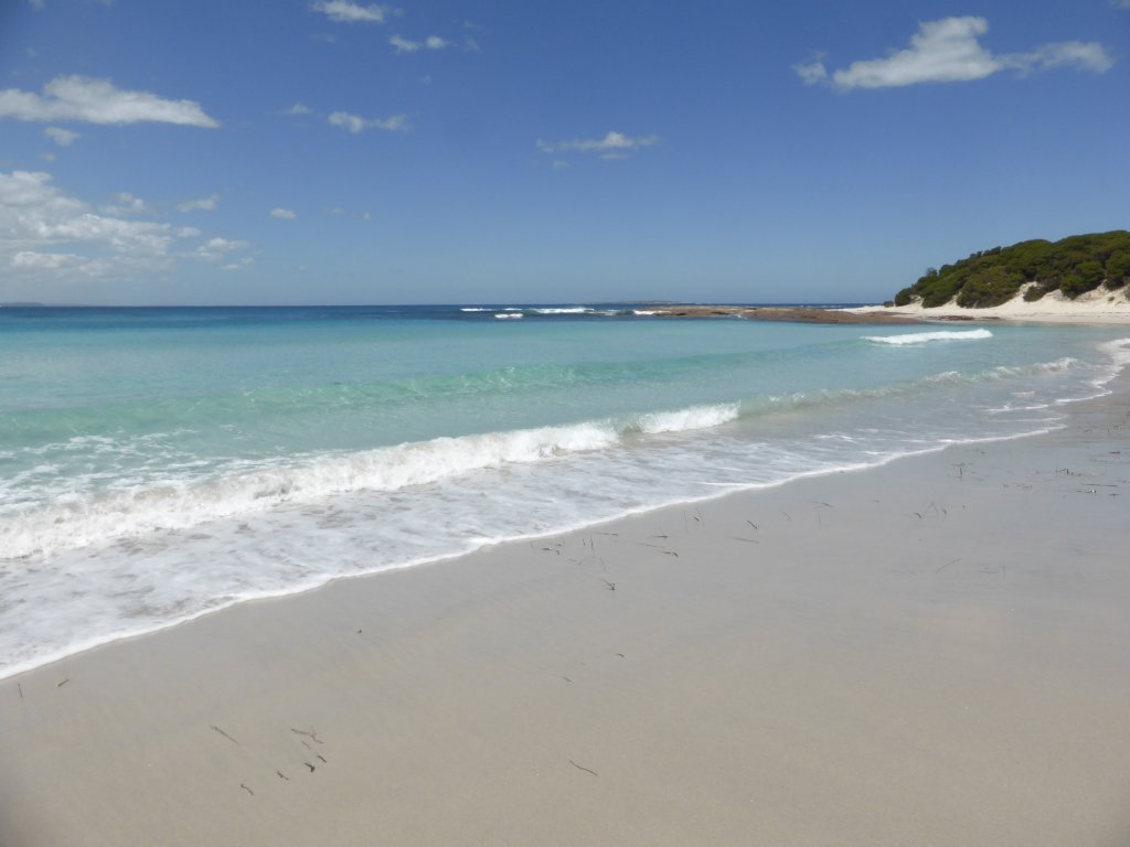
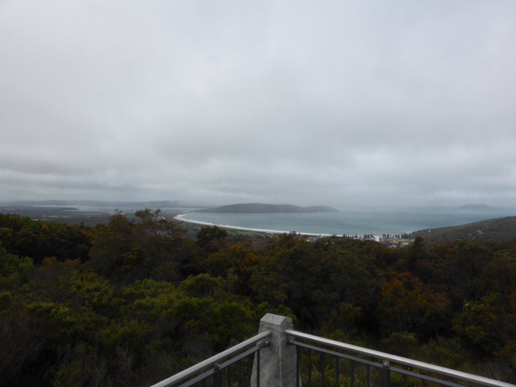
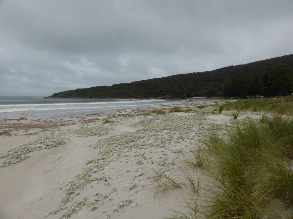
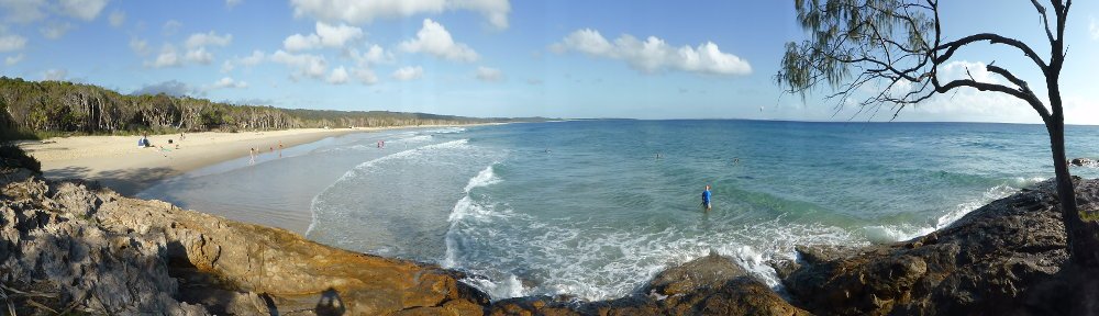
Innes National Park was our goal, though we only spent one night there – at Pondalowie Campground. Another nice national park, not dissimilar to Port Lincoln NP, which is only one peninsula across (to the west). We did a number of walks and had a good look around.

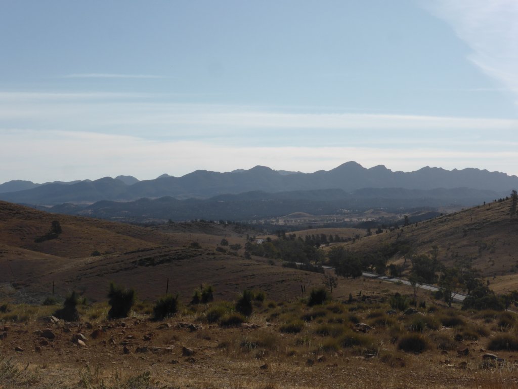
heading into Innes NP